


| SERVICES | PHOTOGRAMMETRY | |
Photogrammetry |
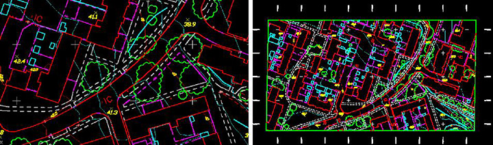
FULL PLAINMETRIC / TOPOGRAPHICAL MAPPING Topographical mapping of one of the County in North America, This project was executed for full topographical map with 5 foot Contour Intervals (CI) for the urban area and 10 foot Contour Intervals (CI) for the rural area, approximately there were 210 stereo models covering an area of around 260 sq miles. |